Project

Mapping Biodiversity Priorities Phase 2 Project
Mapping Biodiversity Priorities Phase Two was implemented between December 2020 – March 2022. The Project was a follow up of a Phase one Project that was implemented from September 2017 – September 2018 called the Mapping Biodiversity Priorities Project which laid the foundation for mainstreaming of spatial biodiversity information into government decision making processes in Malawi.
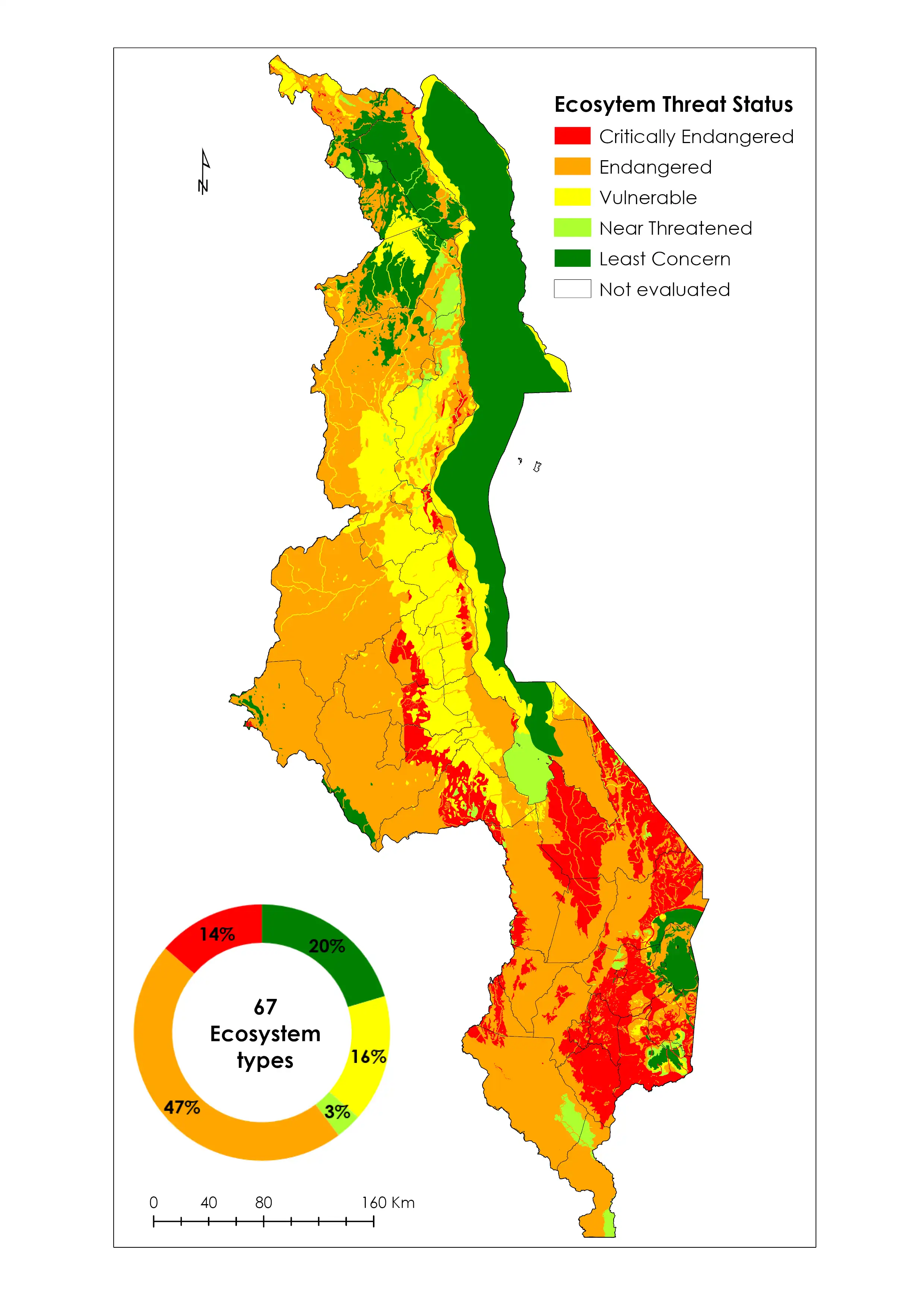
The key deliverable of Phase One was the generation of four integrated base data layers and the conducting of a spatial biodiversity assessment of ecosystem threat status and protection levels. In addition, the project mapped stakeholders and entry points for mainstreaming the Phase One products and convened stakeholder meetings to begin the process of engagement and sensitisation for mainstreaming, including reaching out to non-biodiversity ministries and sectors.
Phase Two of the Mapping Biodiversity Priorities project then focused on integrating Phase One products (maps) into the Environmental and Social Impact Assessment Process, one of the key processes in achieving biodiversity conservation in a country. This entry point was identified as a high priority area given that Malawi’s ESIA approaches to date have typically contained limited spatial data and have not been significantly influenced by quantitative ecosystem data.
The Project was funded by the Japan Biodiversity Funds and supported by the UN Environment Programme-World Conservation Monitoring Centre (UNEP-WCMC) and the South African National Biodiversity Institute (SANBI). At national level, Environmental Affairs Department was the secretariat and the Malawi University of Science and Technology (MUST) provided the technical support.
The main objective of the project was to mainstream spatial biodiversity products (maps) produced from Phase 1 into the Environmental and Social Impact Assessment (ESIA).